YSA Summer 2024 Visualization and Computation
Course Content

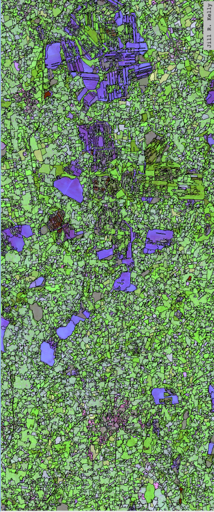
Mapping Social and Environmental Space teaches the use of Geographic Information Systems (GIS), a collection of hardware and software tools that allow users to visualize and analyze geographic data in its spatial configuration. Students will learn the theory of geospatial analysis alongside practical methods for acquiring, manipulating, displaying, and analyzing cartographic data.
The course is structured as a series of lectures exposing students to the theory and techniques of spatial analysis, supplemented with hands-on exercises to develop your facility with ArcGIS Pro, a common GIS software.
Meeting: Friday, 10 am – 1 pm, SB16 AT Computer Lab
Instructor: Jill Kelly (jill.kelly@yale.edu)
Teaching Fellow: Austin Ehrhardt (austin.ehrhardt@yale.edu)
Syllabus: https://arcg.is/1HriGi0
days
hours minutes seconds
until
Final Project Due July 3


